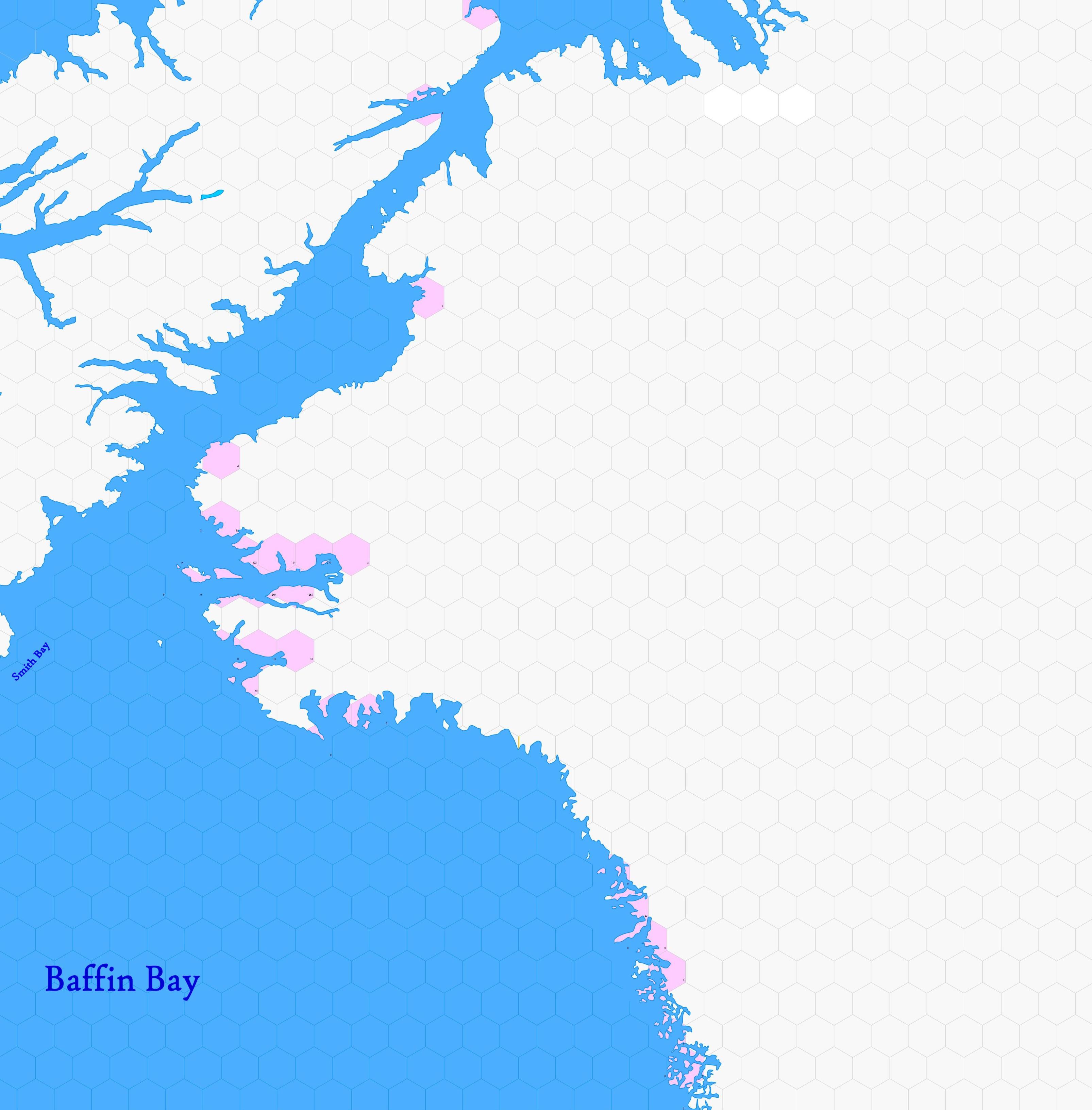
Map A.11 - West Greenland
From The Authentic D&D Wiki
Revision as of 18:35, 1 February 2025 by Tao alexis (talk | contribs)
Incomplete map. Labels are a convenience until further design is applied.
Contents
Arctic region stretching from 82.34°N south to 72.51°N, encompassing the frigid waters and icebound islands between Ellesmere Island and western Greenland. This vast expanse consists of towering glaciers, drifting pack ice, and a labyrinthine network of fjords and frozen islets. Entirely undiscovered by European civilisation, yet numerous Inuit settlements exist in the 17th century.
Hexes are 20 miles in diameter. Total area depicted equals 366,450 sq.m.
Features
Adjacent Maps
| A10: Bathurst | A11: West Greenland | A12: High Greenland | |
|---|---|---|---|
| B15: Baffin | B16: Nuuk Coast | ||
See Sheet Maps
