Map A.12 - High Greenland
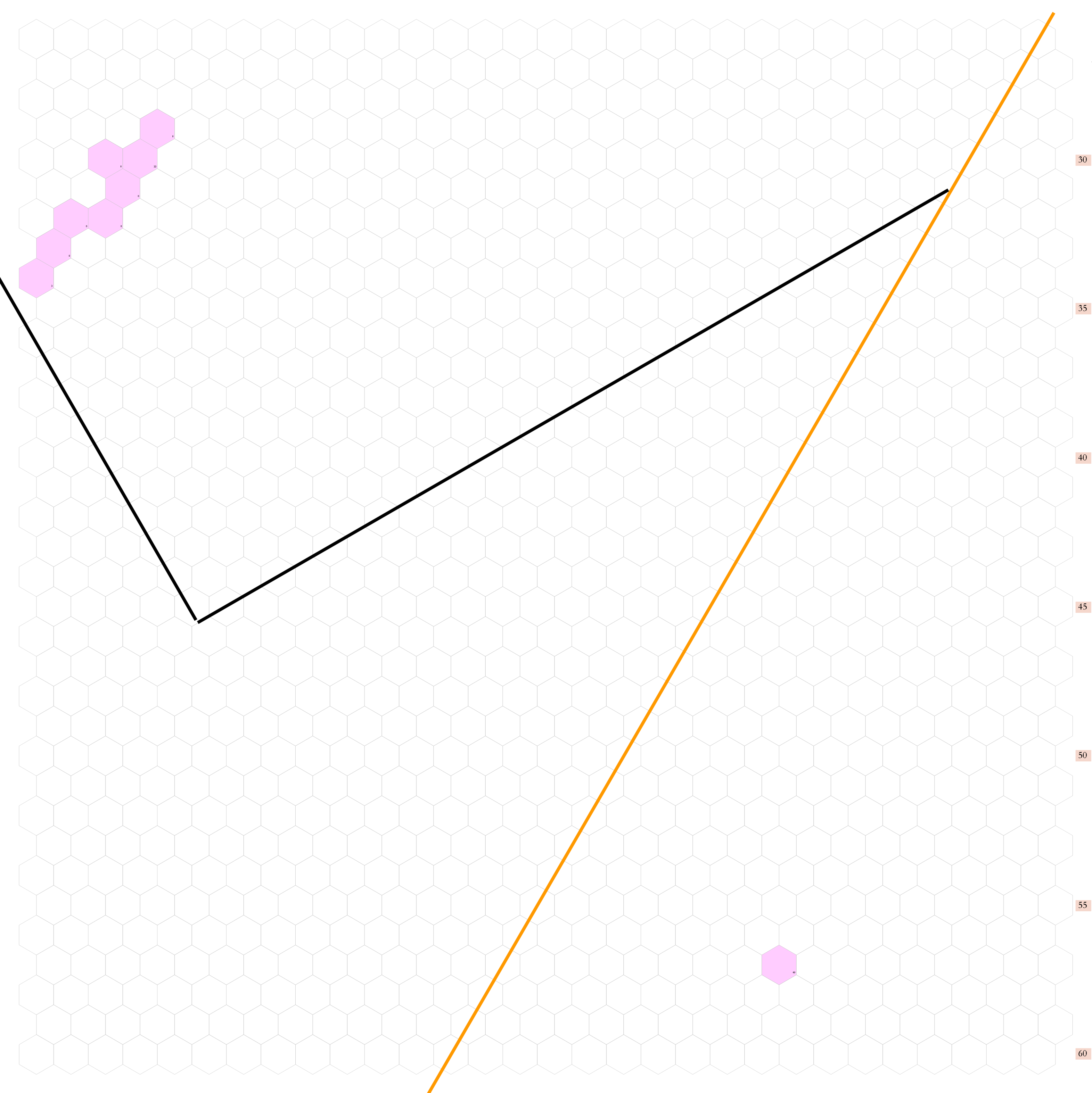
Incomplete map. Arctic region reaching from 82.34°N south to 72.51°N.
Contents
This vast, desolate expanse is dominated by the great ice sheet, an unbroken wilderness of wind-swept snow and shifting glacial ridges. Baffin Bay appears on the western side, while the Greenland Sea is evident on the east.
Hexes are 20 miles in diameter. Total area depicted equals 366,450 sq.m.
The Ice Sheet
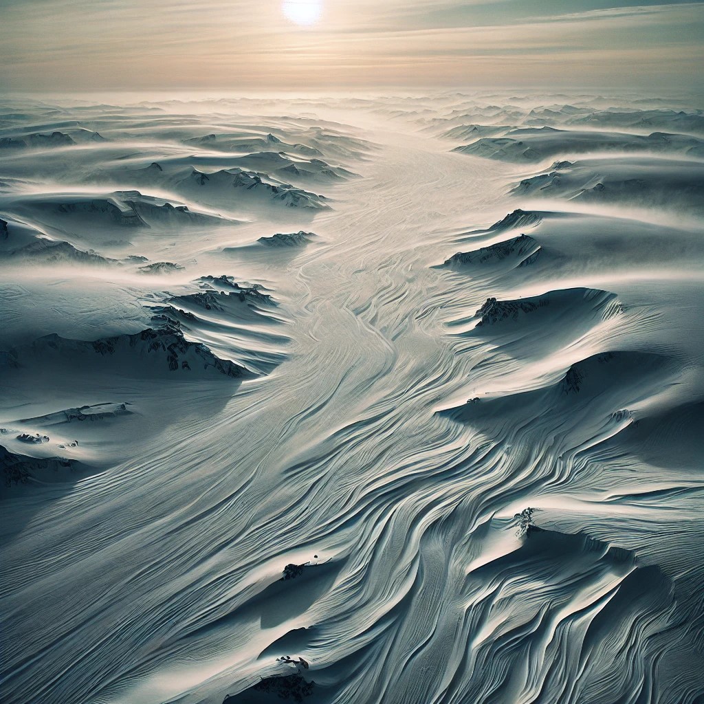
This stretches unbroken across the map's centre, a world of endless white shaped by centuries of wind and cold. This high, frozen plateau rises steadily from the coastal edges, its surface smooth in some places but fractured in others, where deep crevasses and pressure ridges form as the ice slowly shifts under its own weight. The terrain is deceptive — what appears from a distance to be a featureless plain is, in reality, a treacherous landscape of snow-covered fissures and wind-hardened drifts, where movement is slow, and orientation is difficult.
At this latitude, the ice is among the thickest on the continent, buried under countless generations of snowfall compacted into solid glacial mass. The air is bitterly dry, drained of moisture by the unrelenting cold, and the wind never truly stops, sweeping across the plateau in great, swirling gusts that carve long, sinuous ridges into the hardened snow. Temperatures remain far below freezing year-round, with only a brief reprieve in the height of summer when the surface softens slightly under the unsetting sun, though never enough to allow melting.
Storms arise suddenly, reducing visibility to near nothing, as the horizon vanishes into a featureless blur of ice and sky. Sound is muffled by the snow, and in the still moments between gusts of wind, the land is utterly silent, save for the occasional deep groan of ice shifting beneath its own immense weight. No permanent tracks exist here — only the faint, wind-swept traces left by passing storms or the rare expedition that dares to cross this frozen expanse.
Adjacent Maps
| A11: West Greenland | A12: High Greenland | A1: Greenland Sea |
|---|---|---|
| B16: Nuuk Coast | B17: Denmark Strait | B18: Iceland |
See Sheet Maps

