Difference between revisions of "Map A.08 - Arctic"
From The Authentic D&D Wiki
Jump to navigationJump to searchTao alexis (talk | contribs) (Created page with "760px|thumb") |
Tao alexis (talk | contribs) |
||
| Line 1: | Line 1: | ||
[[File:A.08 - Arctic.png|760px|thumb]] | [[File:A.08 - Arctic.png|760px|thumb]] | ||
| + | |||
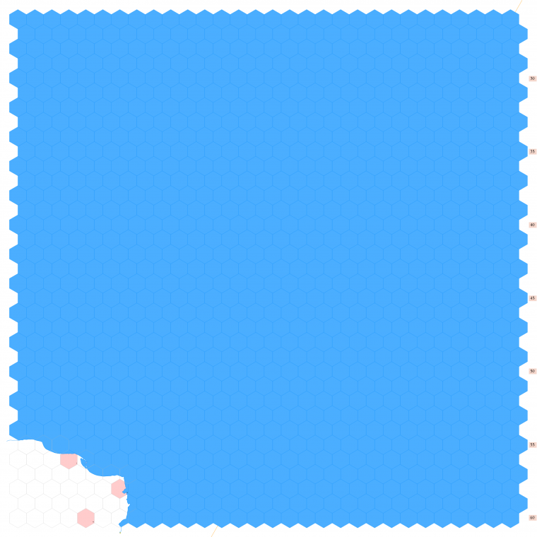
| + | Click to enlarge. Shows latitude 72.51 to 82.34 north, including the most northern corner of [https://en.wikipedia.org/wiki/Alaska Alaska], known as [https://en.wikipedia.org/wiki/Point_Barrow Point Barrow]. The area is so remote to my game world at present, I haven't even decided for certain what creatures might dwell here. But that's not a bad thing; it allows me to retain places for something new and unexpected, should players ever conceivably visit this place. | ||
| + | |||
| + | The orange line, showing at the center bottom and top right, gives the line of hexes that indicates 150°W. Numbers at the right indicate distance from the north pole in hexes; the direction of north is at the top right, so it must be noted the direction on the map turns 60° at the 150th meridian. | ||
| + | <br> | ||
| + | <br> | ||
| + | See Also,<br> | ||
| + | [[Sheet Maps]]<br> | ||
| + | :East: [[Map A.09 - Melville|Melville]]<br> | ||
| + | :West: East Siberian Sea (sea map/no land)<br> | ||
| + | <br> | ||
Revision as of 22:53, 8 March 2020
Click to enlarge. Shows latitude 72.51 to 82.34 north, including the most northern corner of Alaska, known as Point Barrow. The area is so remote to my game world at present, I haven't even decided for certain what creatures might dwell here. But that's not a bad thing; it allows me to retain places for something new and unexpected, should players ever conceivably visit this place.
The orange line, showing at the center bottom and top right, gives the line of hexes that indicates 150°W. Numbers at the right indicate distance from the north pole in hexes; the direction of north is at the top right, so it must be noted the direction on the map turns 60° at the 150th meridian.
See Also,
Sheet Maps
- East: Melville
- West: East Siberian Sea (sea map/no land)
