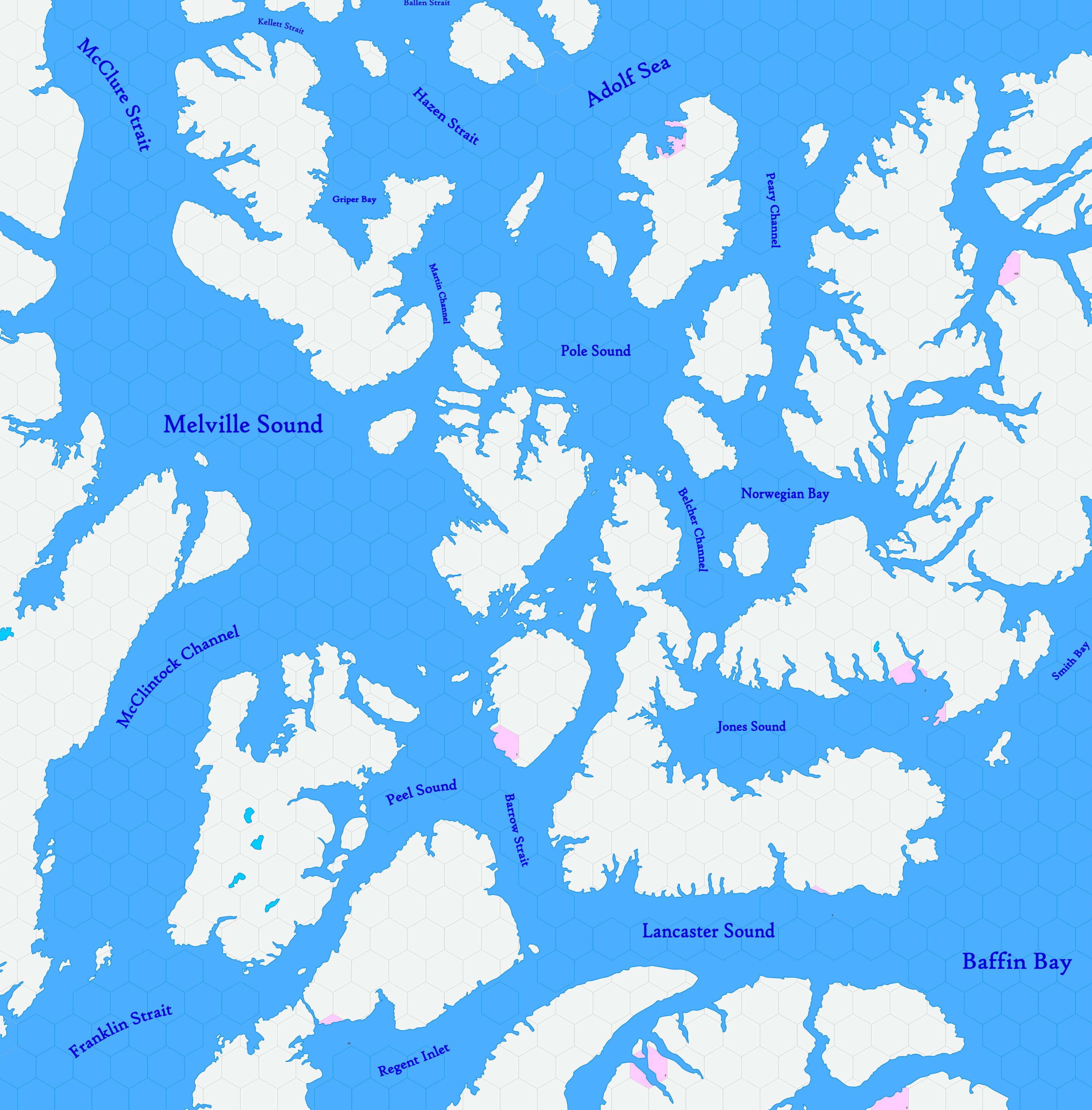
Map A.10 - Bathurst
From The Authentic D&D Wiki
Incomplete map. Labels are a convenience until further design is applied.
Arctic region reaching from 82.34°N south to 72.51°N, including a vast frozen archipelago of hundreds of islands. Undiscovered by civilisation, though Martin Frobisher nearly explored the southeast of this map between 1576 and 1578. According to legend and unreliable accounts, these lands are also occupied by human tribes, as the southern Baffin Island.
Hexes are 20 miles in diameter. Total area depicted equals 366,450 sq.m.
Adjacent Maps
| A9: Melville | A10: Bathurst | A11: West Greenland |
|---|---|---|
| B13: Barrens | B14: Hudson Passage | B15: Baffin |
See Sheet Maps
