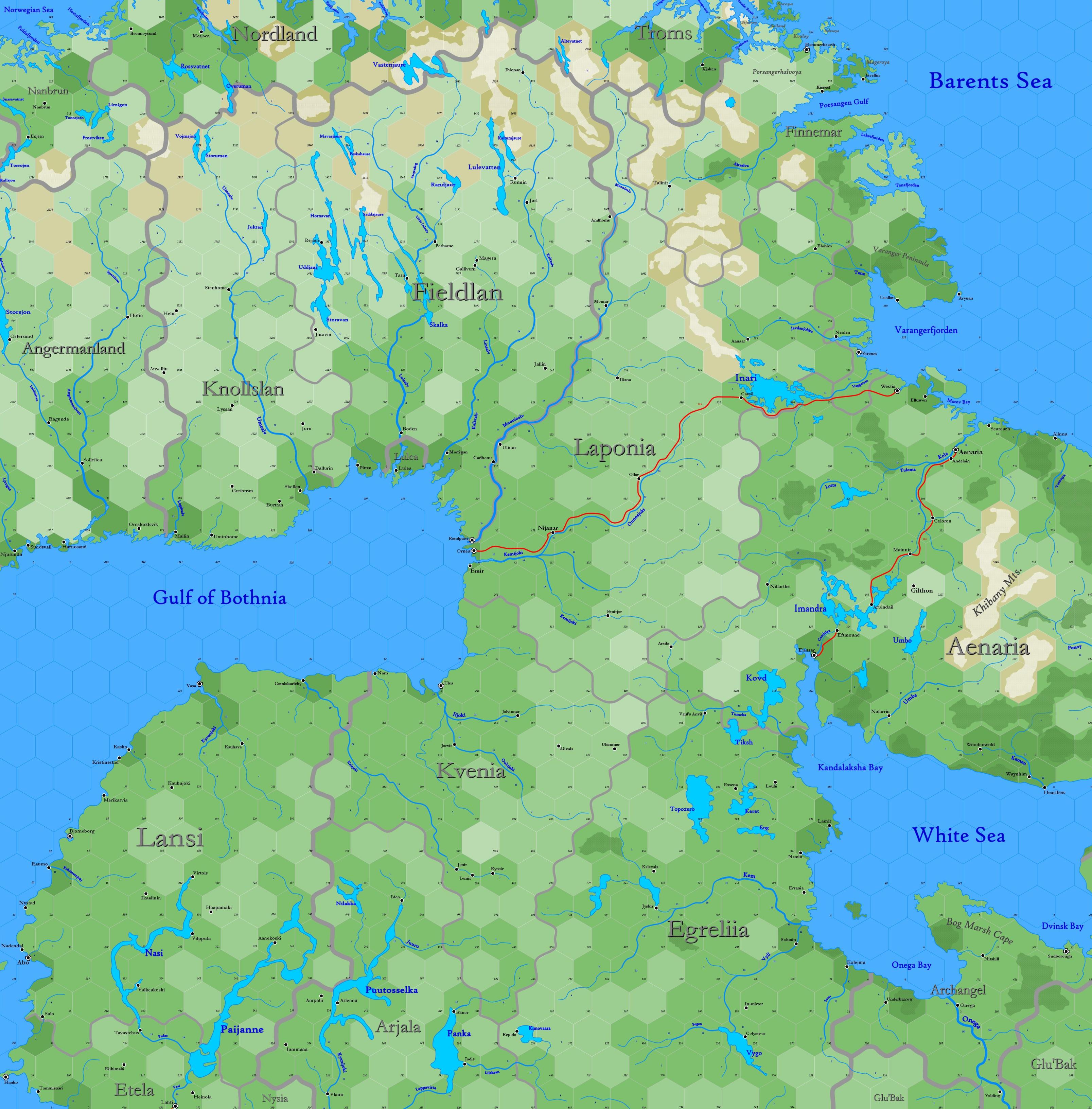
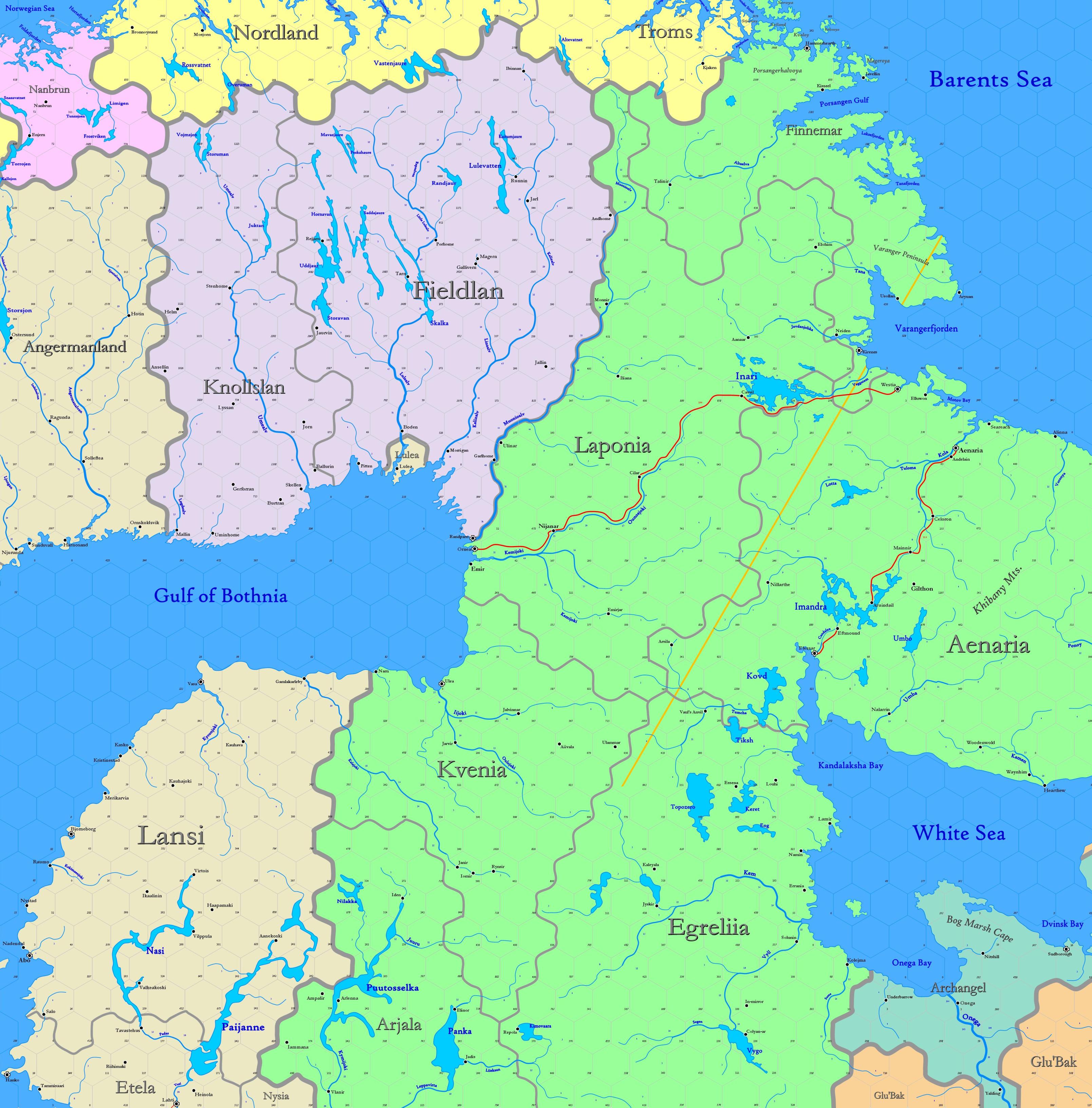
Map B.02 - Lapland
Sub-arctic region reaching from 77.22°N south to 62.96°N, including the northern part of Scandinavia, as well as Karelia, between the shores of the Barents Sea, the Gulf of Bothnia and the White Sea. While Sweden controls the eastern edge of the map, the lands shown are predominantly occupied by elves and gnomes.
Hexes are 20 miles in diameter. Total area depicted equals 366,450 sq.m.
Features
Barents Sea
A portion of the Arctic Ocean, stretching northward from Finnemar and Aenaria. The sea is named after Willem Barents, who mapped the sea in the 16th century while searching for the Northeast Passage to China; it is called Edhellen by elves. The depth of this part is no more than 80 fathoms. Eddies and currents are numerous and complex, which contributes to the warm waters brought from the North Atlantic drift, so that the portion within 20-30 miles of land never freezes. Bergs are common beyond this passage. Although water temperatures vary from year to year, they are coolest in April and warmest in October. Except during this period, the remainder of the sea shown is frozen. Haddock, cod and plaice are plentiful and caught in large numbers.
Gulf of Bothnia
Adjacent Maps
| A1: Greenland Sea | A2: East Spitsbergen |
A3: Jotunheim | |||||||||
| B1: Lofoten | B2: Lapland | B3: Yak'Margug | |||||||||
| C1: North Sea | C2: Baltic | C3: Lithuania- Poland |
C4: Upper Volga | ||||||||
See Sheet Maps

