Difference between revisions of "Map A.12 - High Greenland"
From The Authentic D&D Wiki
Jump to navigationJump to searchTao alexis (talk | contribs) |
Tao alexis (talk | contribs) |
||
| Line 9: | Line 9: | ||
[[Sheet Maps]]<br> | [[Sheet Maps]]<br> | ||
:East: [[Map A.01 - Greenland Sea|Greenland Sea]]<br> | :East: [[Map A.01 - Greenland Sea|Greenland Sea]]<br> | ||
| − | :West: [[Map A.11 - | + | :West: [[Map A.11 - West Greenland|West Greenland]]<br> |
<br> | <br> | ||
Revision as of 04:42, 9 March 2020
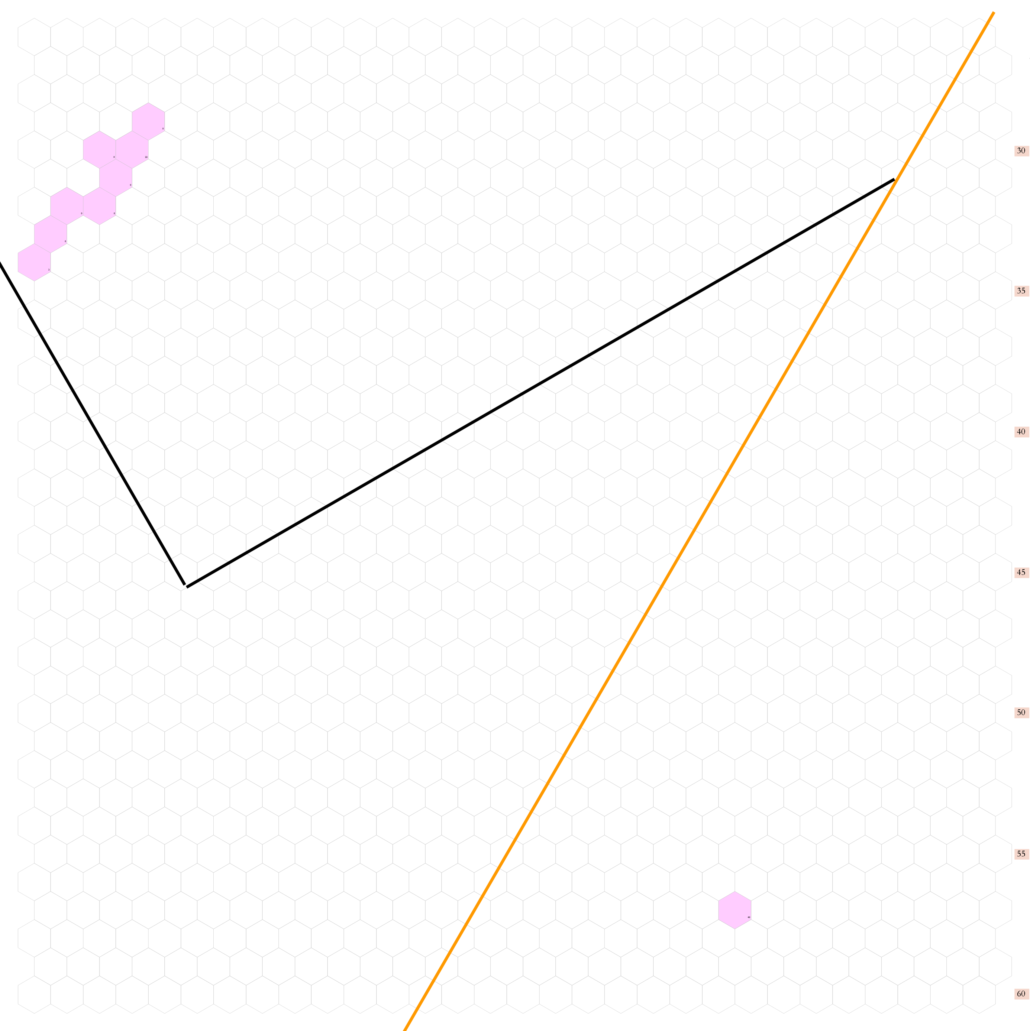
Click to enlarge. Shows latitude 72.51 to 82.34 north, including a small portion of Greenland's west coast and a significant length of Greenland's harsh, uninhabited eastern shore. The map exists as a placeholder until the coastline is plotted.
The orange line, showing at the center bottom and top right, gives the line of hexes that indicates 30°W. Numbers at the right indicate distance from the north pole in hexes; the direction of north is at the top right, so it must be noted the direction on the map turns 60° at the 30th meridian. Hexes are 20 miles in diameter.
See Also,
Sheet Maps
- East: Greenland Sea
- West: West Greenland
