Difference between revisions of "Roads & Routes"
Tao alexis (talk | contribs) |
Tao alexis (talk | contribs) |
||
| Line 62: | Line 62: | ||
| High road || 100 || rowspan="2"|six | | High road || 100 || rowspan="2"|six | ||
|- | |- | ||
| − | | Low road || | + | | Low road || 35 |
|- | |- | ||
| − | | Cobbled road || | + | | Cobbled road || 20 || rowspan="2"|four |
|- | |- | ||
| − | | Dirt road || | + | | Dirt road || 12 |
|- | |- | ||
| − | | Cart track || | + | | Cart track || 6 || three |
|- | |- | ||
| − | | Cart path || | + | | Cart path || 3 || two |
|- | |- | ||
| − | | Path || 1 | + | | Path || 1 || one |
|- | |- | ||
| − | | Trail || | + | | Trail || 0 || uncounted |
|- | |- | ||
| − | | No route || 0 | + | | No route || 0 || none |
|} | |} | ||
As shown on the table, | As shown on the table, | ||
Revision as of 04:36, 27 April 2021
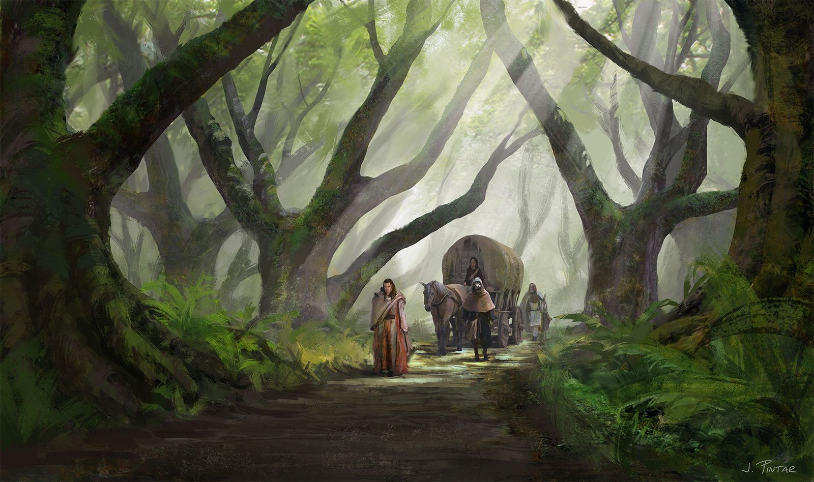
Roads and routes are humanoid-made ways of travel, which variously fall into eight categories: high road, low road, cobbled road, dirt road, cart track, cart path, path and trail. The condition of each is determined by the amount of infrastructure present in the local 20-mile hex of the game world. Some roads cannot be used by any vehicle, or even by a mount in the hands of an amateur-skilled rider. Better roads facilitate travel, so that greater distances may be covered in the space of a day.
Route Descriptions
All chances given below are rolled once per day.
High Roads are paved surfaces with even surfaces of stone blocks or concrete, that are continuously maintained. They offer a smooth, firm purchase and good drainage. The roadstead is wide enough to accommodate two, three or four wagons, depending on how many hundreds of infrastructure are present in the hex. High roads will include toll bridges of stone construction across rivers between 7 to 20 pts. Rivers or streams less than 7 pts. will be bridged and will not charge tolls. For rivers between 20 and 28 pts., a ferry will be available for crossing. Transshipment on boats will be available for any size of river above 28 pts.
| Route | Movement per 10 hrs (mi. per action point) |
|---|---|
| High road | 7.8 |
| Low road | 7.1 |
| Cobbled road | 6.1 |
| Dirt road | 5.0 |
| Cart track | 3.9 |
| Cart path | 2.8 |
| Path | 1.9 |
| Trail | 1.2 |
| No route | 0.7 |
Low Roads are paved surfaces made of smooth flat paving stones and mortar, with fair drainage. The roadstead nominally allows for two wagons to pass, though in forest & alpine ranges this space will be tight. Low roads will include toll bridges of half-timbered construction across rivers between 5 to 15 pts. Rivers or streams less than 5 pts. will be stone-bridged and will not charge tolls. For rivers between 16 and 24 pts., a ferry will be available for crossing. Transshipment on boats will be available for rivers up to 60 pts.
Cobbled Roads are made with rounded stones ("cobbles") and mortar, providing an uneven but hard surface, with minimal drainage. A dirt shoulder, often muddy, and perhaps not available for hundreds of yards at a time, is necessary for passing oncoming vehicles. Cobbled roads will include toll bridges of wooden or half-timbered construction on rivers or streams up to 10 pts. All bridges will be tolled. Fords will cross rivers up to 12 pts. Ferries will be available for rivers between 11 and 18 pts.
Dirt Roads are surfaces made of earth, clay and loose stone materials, with minimal maintenance. They are often muddy and unevenly surfaced. Areas may be worn away, causing a rough ride over exposed routes; parts may be ingrown with plants. There is no reliable drainage and large puddles are common. One of two wagons attempting to pass must exit road to pass and may require (1 in 20) considerable work to bring them back onto the road. Carts may pass one another, or a cart and a wagon. There are no bridges of any kind. Fords will cross rivers and streams up to 6 pts. Ferries will be available for rivers between 7 and 12 points.
Cart Tracks consist of two ruts on either side of a center mound, with loose stone materials supporting the wheels. The surrounding wilderness is cut back to allow two carts to pass one another, but there is a 1 in 12 chance of a cart becoming entangled in vegetation or slipping off the track's grade. Wagons cannot navigate the track. Grass and scrub will cover the track up to one foot high for hundreds of yards at a time, and time must be taken to strip the vegetation from the cart's axles. No bridges or ferries. Fords will cross rivers up to 4 pts.
Cart Paths are similar to cart tracks, but are used so infrequently that the ruts are not maintained with stone and vegetation will have encroached upon the route. This takes time to physically hold it back or cut it away. The existing centre mound will scrape the axles, causing breaks (1 in 30). In places (1 in 12) the cart will need to be levered over humps. No bridges, ferries or fords.
Paths are very uneven, narrow routes over a hard clay surface and are impassable to carts. Mounts must be ridden single file. The width is typically between 4 and 6 feet wide. Surfaces are covered with roots and scrub, with brooks and rivulets that must be jumped. There are occasional places, every few miles, where the path squeezes between trees or rock outcroppings. Rock falls or avalanches will have buried the path in mountainous ranges (1 in 30).
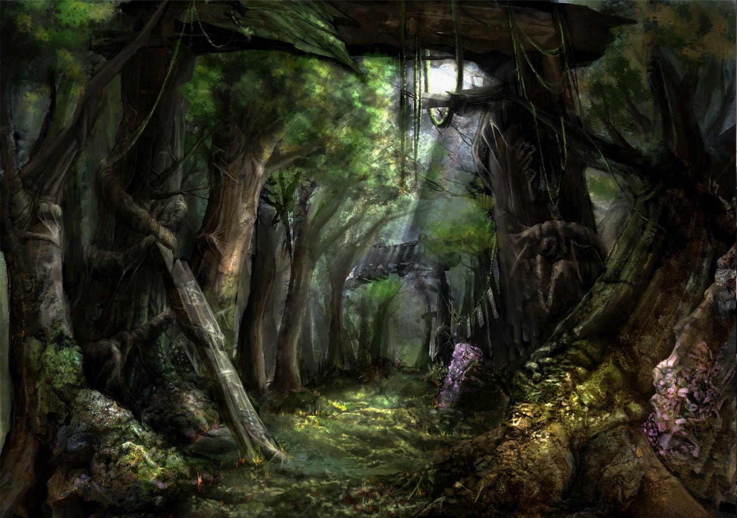
Trails are animal-made routes, variably surfaced and meandering, with breaks that must be jumped or crossed by make-shift bridges. Trails are 1 to 2 feet wide; they will often quit at points, two or three times a day, requiring searching to pick up the trail again.
As roads degrade in quality, ease of travel is also inhibited by loops and bends that inhibit straight-line progress. This is often due to the land surface. Paths and trails in particular will wind considerably and will include places where steep grades have to be scrambled. Even so, the progress made on a route is better than through pure wilderness, where even in open prairie progress is lost through recalibration and necessary retreats to good observation points.
Travel Per Day
A full day of movement allows a comfortable maximum of ten hours walking or riding. This allows for an additional hour and a half in the morning to wash, dress, eat and load one's kit; and an hour in the evening to cook, eat, rub down animals, ready one's bed, study and discuss elements of the character's sage abilities with one another. This time of contemplation is important for characters who, through reflection, ready themselves for the moment when their experience points propel them to a higher level. Travelling more than ten hours in a day is considered a forced march, which will exhaust the players, possibly resulting in maladies.
A hour of travel can therefore be calculated by taking the above numbers given and dividing them by ten. The pace represented is a "stride-3," which is a normal walking speed of 3.9 miles per hour for an unencumbered traveller with 5 action points (AP). We can see that many things come into play where travel is concerned. A party moves at the speed of the slowest party member. If one member of the party is limited to 3 AP, then everyone moves at 3 AP. Movement on horseback is calculated to the speed of the horse, just as movement with a cart or a wagon is likewise calculated. Additionally, a party can "amble" — that is, move along as stride-2, enabling to see more and become more informed as they journey. A party can "hurry" at stride-4 or "rush" at stride-5, enabling them to journey faster but for less time of the day, while taking risks with regards to accidents or being surprised by encounters. The benefits and drawbacks of these choices are covered under Travel.
Each choice of the player determines how long it takes to "get there." This allows the party to control their travel, even in the most difficult to reach places.
Creating Route Maps
What sort of route exists in a given 20-mile hex depends on the amount of infrastructure. Infrastructure is expressed as a number, calculated from the density of population that exists in that hex, and other hexes within the same geopolitical province. Zero infrastructure (0) indicates no humanoid development of any kind; less than 4 describes a highly isolated community with few people, usually living as villeins, far from any authority or noble jurisdiction. Essentially, a "frontiersman or woman," though the word hadn't been coined in the 17th century. An infrastructure between 5 and 15 describes an isolated village; between 16 and 30, a well-connected village or small town. Large towns and then small cities emerge with infrastructures between 31 and 100 ... and any place with more than 100 is either an important political and economic center, or on the periphery of truly large market and military centres like London, Paris, Vienna or Constantinople. Some parts of Holland, Italy and Japan are so dense that high roads crisscross and lead in every direction, without the traveller catching a glimpse of true wilderness.
| Route | Minimum infrastructure |
# of connecting routes |
|---|---|---|
| High road | 100 | six |
| Low road | 35 | |
| Cobbled road | 20 | four |
| Dirt road | 12 | |
| Cart track | 6 | three |
| Cart path | 3 | two |
| Path | 1 | one |
| Trail | 0 | uncounted |
| No route | 0 | none |
As shown on the table,

