Difference between revisions of "Map B.02 - Lapland"
From The Authentic D&D Wiki
Jump to navigationJump to searchTao alexis (talk | contribs) |
Tao alexis (talk | contribs) |
||
| Line 3: | Line 3: | ||
Hexes are [[20-mile Hex Map|20 miles]] in diameter. Total area depicted equals 366,450 sq.m. | Hexes are [[20-mile Hex Map|20 miles]] in diameter. Total area depicted equals 366,450 sq.m. | ||
| + | |||
| + | [[File:Political B.02 - Lapland.jpg|right|420px|thumb]] | ||
Revision as of 16:35, 9 July 2021
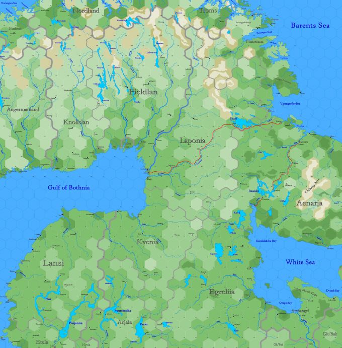
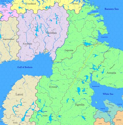
Sub-arctic region reaching from 77.22°N south to 62.96°N, including the northern part of Scandinavia, as well as Karelia, between the shores of the Barents Sea, the Gulf of Bothnia and the White Sea. While Sweden controls the eastern edge of the map, the lands shown are predominantly occupied by elves and gnomes.
Hexes are 20 miles in diameter. Total area depicted equals 366,450 sq.m.

