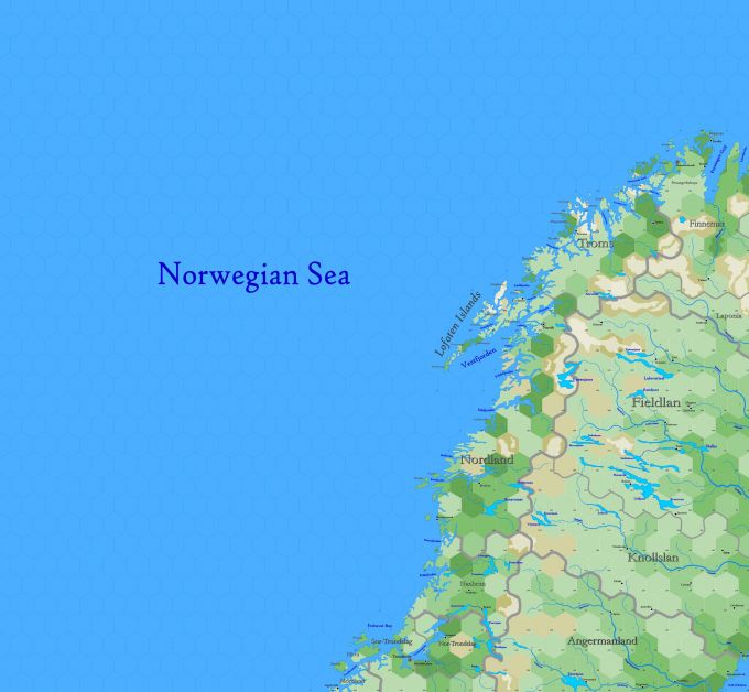
Map B.01 - Lofoten
Sub-arctic region reaching from 77.22°N south to 62.96°N, including the upper peninsula of Scandinavia, a region shared by many races. The upper peninsula is formed of an elevated plateau which rises steeply from the Atlantic. The irregular outline of the has been caused by the same agent, a glacier or river of ice. The sides of the fjords are steep and often rise to heights of 4,000 ft. At the head of each fjord is a meadowland surrouding a stream descending from the mountains. Arranged along the coast is the skerry-guard, hundreds of small, rocky islands that act as a protection from the Atlantic storms. There is a near continuous quiet water route through the lee of these islands. These islands allowed the Norse to learn their sailing trade.
Hexes are 20 miles in diameter. Total area depicted equals 403,095 sq.m.
