Difference between revisions of "Map A.08 - Arctic"
From The Authentic D&D Wiki
Jump to navigationJump to searchTao alexis (talk | contribs) |
Tao alexis (talk | contribs) |
||
| Line 1: | Line 1: | ||
[[File:A.08 - Arctic.jpg|right|680px|thumb]] | [[File:A.08 - Arctic.jpg|right|680px|thumb]] | ||
| − | '''Incomplete Map'''. Arctic region reaching from 82.34°N south to 72.51°N, utterly undiscovered by civilisation. Includes a small section of coastline of the New World. The '''Arctic Ocean''' is an almost completely landlocked body of water in the far north of the world. The ocean is a vast waste of pack ice, formed during the winter, spring and fall months. In the summer, icebergs cluster together, steadily moving from west to east in this part. Little marine life is supported, but in the late summer, Chinese junks enter these waters in search of whales. | + | '''Incomplete Map'''. Arctic region reaching from 82.34°N south to 72.51°N, utterly undiscovered by civilisation. Includes a small section of coastline of the New World. The '''Arctic Ocean''' is an almost completely landlocked body of water in the far north of the world. The ocean is a vast waste of pack ice, formed during the winter, spring and fall months. In the summer, icebergs cluster together, steadily moving from west to east in this part. Little marine life is supported, but in the late summer, Chinese [[Junk (ship)|junks]] enter these waters in search of whales. |
Hexes are [[20-mile Hex Map|20 miles]] in diameter. Total area depicted equals 366,450 sq.m. | Hexes are [[20-mile Hex Map|20 miles]] in diameter. Total area depicted equals 366,450 sq.m. | ||
Latest revision as of 16:40, 15 October 2021
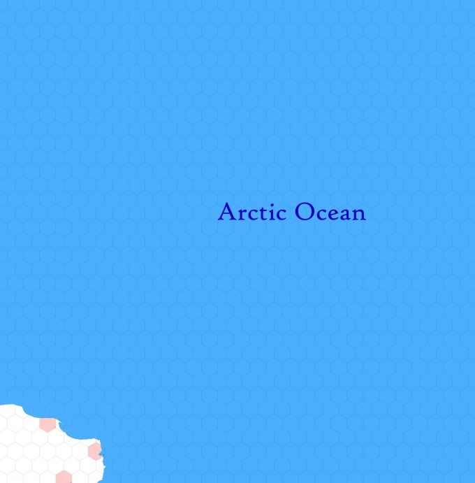
Incomplete Map. Arctic region reaching from 82.34°N south to 72.51°N, utterly undiscovered by civilisation. Includes a small section of coastline of the New World. The Arctic Ocean is an almost completely landlocked body of water in the far north of the world. The ocean is a vast waste of pack ice, formed during the winter, spring and fall months. In the summer, icebergs cluster together, steadily moving from west to east in this part. Little marine life is supported, but in the late summer, Chinese junks enter these waters in search of whales.
Hexes are 20 miles in diameter. Total area depicted equals 366,450 sq.m.
Adjacent Maps
| A7: Evenk Sea | A8: Arctic | A9: Melville |
|---|---|---|
| B10: Bering Strait | B11: Alaska | B12: Yukon |
See Sheet Maps
