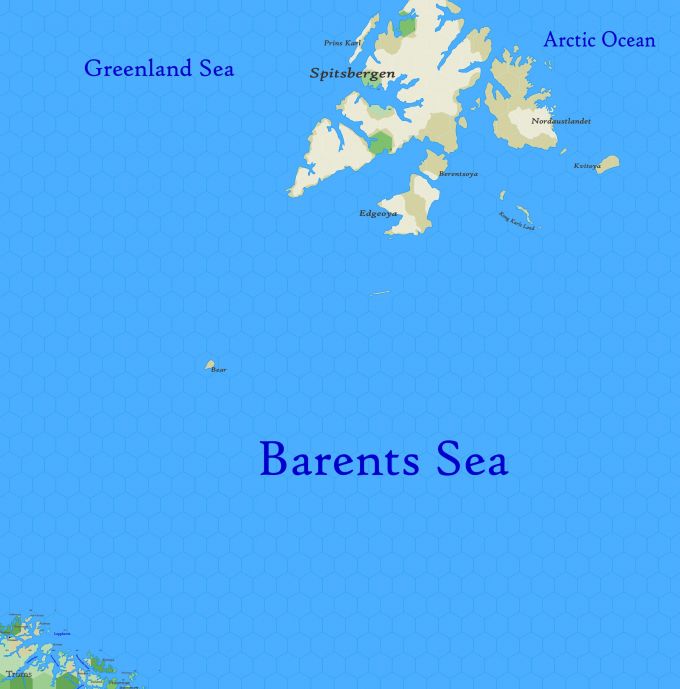
Map A.02 - East Spitsbergen
From The Authentic D&D Wiki
Revision as of 22:20, 1 July 2021 by Tao alexis (talk | contribs)
Arctic region reaching from 82.34°N south to 72.51°N. A seagoing trade-route follows the coasts of Troms and Finnemar, shown in the bottom left; otherwise, these seas are visited yearly by whaling vessels who call the Barents sea the Devil's Dance Floor. During storms, this region is more often called the Devil's Jaw.
